Google earth pro is a desktop globe for exploring places through satellite imagery, terrain, buildings, and your own geographic notes. It is useful when a flat road map cannot explain the shape of a valley, the setting of a neighborhood, or how a place has changed over time. This guide covers the tools people actually need, the limits of the imagery, and a simple way to organize a useful project. The application is made by Google; this independent guide is not a Google service or a substitute for current travel information.
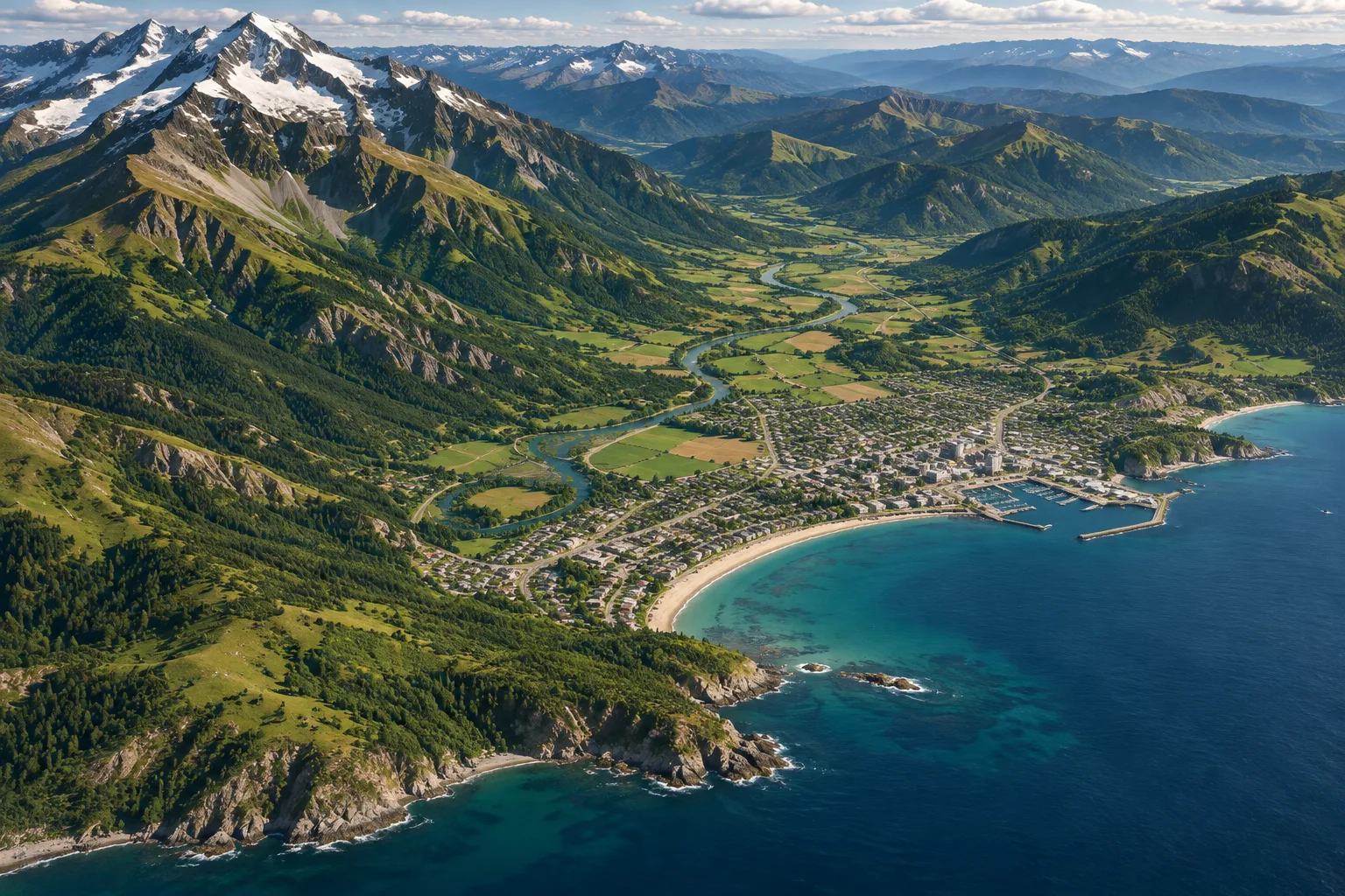
What the desktop version does best
Google earth pro puts a navigable globe on your computer. You can search for a place, tilt the view toward terrain, inspect available three dimensional buildings, and add placemarks or drawn shapes. Its strongest advantages are historical imagery, measurement tools, and the ability to work with geographic files.
Think of it as a visual research workspace. It can help you understand landforms, compare older views, and prepare a presentation about a location. It does not verify property boundaries, replace a survey, or tell you whether a road is open today. Decide what question you want to answer before choosing a layer or tool.
Download and set up safely
Get Google earth pro from Google's official Earth versions page, which provides desktop downloads for Windows, Mac, and Linux. Check the current system requirements there before installing, especially if your computer has limited memory or an older graphics processor. The program needs an internet connection to obtain imagery and other map data. Avoid download buttons on unrelated sites that imitate the official installer.
After installation, search for a familiar location and let the globe finish loading. Practice zooming, rotating, and returning to a straight overhead view. If the screen looks incomplete, first check your connection and give imagery time to appear. Later, you can adjust graphics settings using Google's help guidance rather than changing several options at once.
Use historical imagery carefully
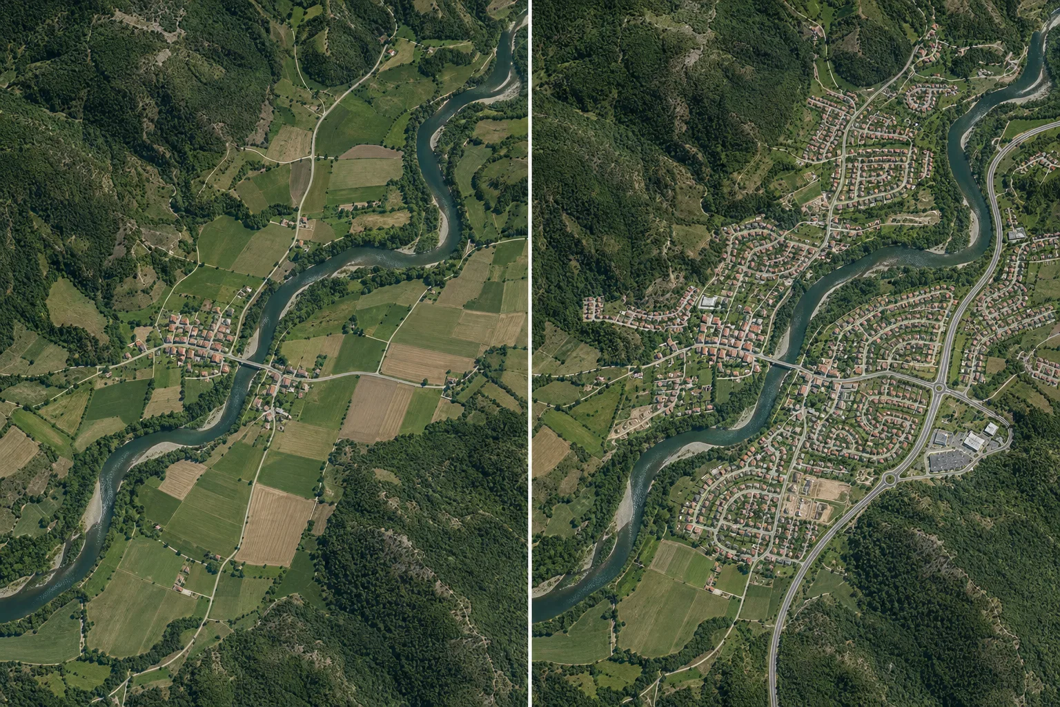
One reason to choose Google earth pro is its historical imagery control. Where older images are available, the time slider lets you compare views from different dates. This can help illustrate urban growth, a changed shoreline, construction, or vegetation patterns. Save the date of each view in your notes so readers know what period they are seeing.
Coverage is uneven. A location may have several useful dates or only a few, and adjacent areas can be assembled from images captured at different times. Lighting, season, camera angle, and image quality can also change. A visible difference is a clue for further research, not automatic proof of when or why a change happened. Check local records or other dated evidence before making a confident claim.
Measure paths, areas, and slopes
The Ruler tool can estimate a straight line, a multi point path, or the area of a drawn shape. Google also documents options for circles and three dimensional measurements in the desktop application. Select the appropriate unit, click carefully around the feature, and save the result if you need to revisit it. For a walking idea, a traced path is usually more informative than a direct line across buildings or water.
A measurement on imagery is still an estimate. Image resolution, uneven ground, point placement, and the way the tool handles terrain all affect interpretation. An elevation profile along a path can help reveal hills, but it cannot tell you whether a trail is maintained or accessible. Use official trail information and current conditions before relying on a route in the field.
Organize placemarks and projects
Placemarks keep important spots visible while you explore. Give each one a specific name and a short note explaining why it matters. Paths can trace an idea, and polygons can outline an area for discussion. Place related items in folders so a project about several sites remains understandable after you return to it later.
When you are comparing locations, use a consistent naming system such as place, topic, and date. Keep observations separate from assumptions in each description. Google earth pro becomes more useful when the saved project answers a question rather than collecting dozens of unnamed pins. Review every marker before sharing, because a project file can reveal private addresses or other sensitive locations.
Bring in geographic data
The desktop edition can import and export geographic information, including familiar KML or KMZ project files. Google also describes GIS data support as one of its advanced features. This allows you to combine your own locations with the globe and inspect their spatial relationship to terrain or imagery. Begin with a small, trusted file so you can see whether its coordinates land where expected.
Data layers can be wrong, outdated, or drawn at a different scale from the background image. Check the source, coordinate system, and date before treating an overlay as authoritative. If a line seems displaced, investigate the file rather than dragging features into place by eye. Keep an untouched copy of the original data and document any edits you make.
Know when to switch tools
Use Google earth pro to explore the shape and history of a place, then switch to an appropriate source for the decision at hand. A navigation app can provide current route guidance. A transportation agency can report road restrictions. A surveyor or land records office can address legal boundaries. Weather services can explain conditions that imagery cannot show.
This separation makes the globe more valuable, not less. It helps you ask better questions and avoid treating an attractive image as a complete answer.
Frequently asked questions
Is Google earth pro the same as Google Maps?
No. Earth Pro emphasizes globe exploration, historical views, measurements, and geographic projects. Google Maps is usually the better starting point for live navigation and everyday business searches. Use each tool for the question it answers best.
Can I see a live satellite picture?
No. The imagery is captured and processed before it appears in the application. Check the displayed image date where available, and use current official sources for conditions that can change quickly.
Can I use an older image as proof of a change?
An older view can support an investigation, but it is not complete proof by itself. Compare dates, image quality, seasons, and independent records before stating when a feature appeared or disappeared.