MapQuest Walking Directions can help turn a destination into a practical pedestrian plan. A useful walking route is more than a line between two points: it should help you understand crossings, busy roads, parks, stairs, entrances, and the time needed to arrive. Whether you are walking across a neighborhood, exploring a new downtown, or connecting to transit, reviewing the route before you start makes the trip easier to manage.
What MapQuest Walking Directions show
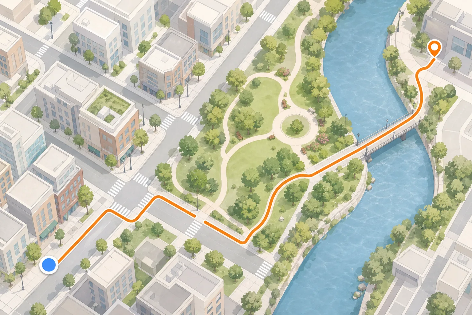
Walking directions describe a path between two locations while prioritizing pedestrian access where map data is available. Depending on the area, the route may follow sidewalks, paths, crossings, trails, plazas, and local streets. The estimated time gives you a starting point for planning, but your pace, hills, weather, and road conditions can change the actual journey.
A map pin can be close to a building without showing the entrance you need. Look for a street name, campus gate, park entrance, transit stop, or landmark that confirms you are approaching the right place.
How to get walking directions
Use a complete origin and destination, then select the walking mode before reviewing the route. If the same place appears more than once, compare the address and map position instead of accepting the first suggestion.
- Enter the place where your walk begins, such as a street address, station, or intersection.
- Add the full destination and confirm the correct building or entrance.
- Select Walking Directions and examine the path, crossings, and major streets.
- Check the final approach, estimated time, and any areas where the path may be unclear.
- Start navigation only after you are safely positioned and ready to walk.

Check pedestrian details before leaving
A route that looks short on screen may include a difficult crossing, a steep grade, stairs, or a road without a comfortable sidewalk. If accessibility matters, look for step-free alternatives and verify conditions with local signs or the destination itself. A map is useful context, but it cannot guarantee that every path is open or suitable today.
- Confirm crosswalks at wide or fast-moving roads.
- Allow extra time for hills, crowds, weather, and stops.
- Keep your phone visible without blocking your attention to traffic.
- Use a well-lit route when walking after dark.
Walking route checklist
Before you go, confirm the start pin, the destination entrance, major crossings, estimated time, weather, and a safe place to pause if you need to check the route.
About this MapQuest Walking Directions guide
This is an independent guide to the MapQuest Walking Directions search topic. Maps and Driving Directions is not MapQuest and does not represent the MapQuest service.
Common questions
MapQuest Walking Directions FAQ
How do I use MapQuest for walking directions?
Enter a starting location and destination, choose the walking travel mode, verify the selected places, and review sidewalks, crossings, distance, and estimated time before you begin.
Are MapQuest walking times exact?
No. Walking time is an estimate. Personal pace, hills, weather, crossings, crowds, and temporary closures can change how long the trip takes.
Can walking directions show accessible routes?
Map data may not capture every accessibility detail. Check the route for stairs, steep sections, curb access, entrances, and local conditions, then confirm important details with the destination.